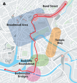
Bristol City Centre Transport Changes
Bristol city centre is set to change in the coming years, with major new housing developments and leisure and retail...
Share: Projects

Bristol city centre is set to change in the coming years, with major new housing developments and leisure and retail...

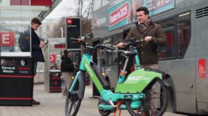
Hire an e-scooter, park your bike, repair a puncture, access WiFi, and much more at one of our trial travel...
Bristol City Council and St Werburgh’s Primary School are working together to make the journey to school safer.

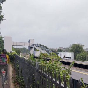
The new station at Ashley Down is part of a project to re-open the Henbury Line that runs from Bristol...
Bristol City Council and Ashton Gate Primary School are working together to make the journey to school safer. As of...
Bristol City Council and Fair Furlong Primary School are working together to make the journey to school safer.