Network maps
Bus network maps for the West of England
New and improved WEST travel guides are coming
We’re excited to announce upcoming improvements to our WEST travel guides, designed with care and informed by valuable feedback from local focus groups. These workshops allowed us to hear directly from residents and transport users, ensuring the new guides will truly reflect your needs and preferences.
Whether you’re a daily commuter or exploring the region for the first time, the April 2025 guides are being tailored to make your journeys simpler, smoother, and more accessible.
Here’s what’s new:
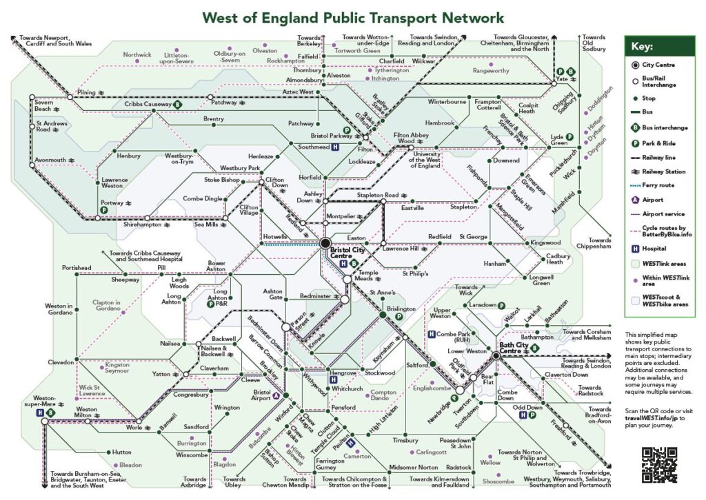
- One regional guide: A clearer, schematic map covering the entire West of England region, offering a big-picture view without overwhelming detail.
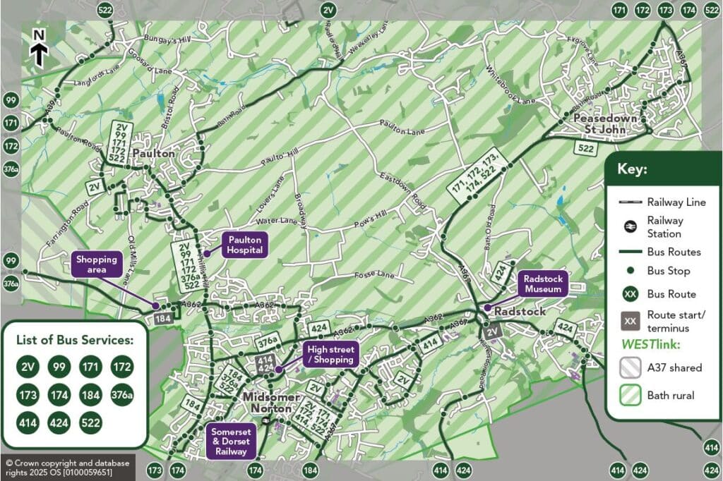
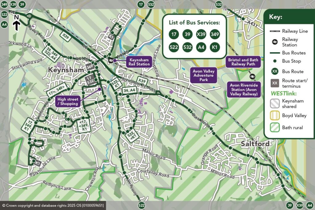
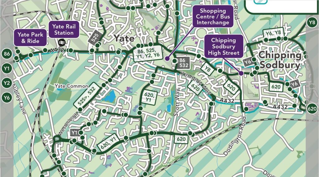
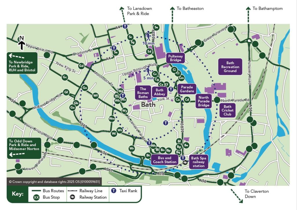
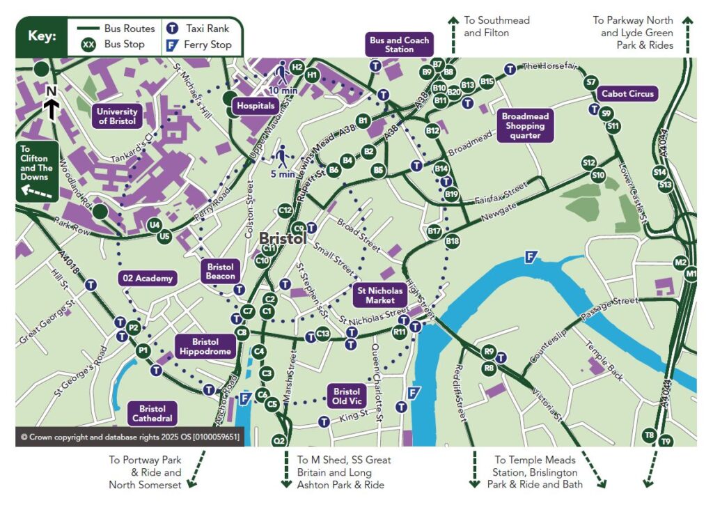
- Local town guides: Compact guides focused on specific areas and towns, providing just the right amount of local travel information.
- Smaller format: Say goodbye to oversized, cumbersome guides. The new editions will be easier to carry and unfold while you travel.
- Streamlined information: Printed guides will prioritise key points and direct you to our digital platforms for the latest and most accurate journey details.
Insights from the local focus groups have shaped these changes, from introducing more user-friendly layouts to integrating QR codes for real-time updates and journey planning. Together, we’re making public transport easier and more enjoyable for everyone.
Thank you for your feedback—it’s helping us build a better way to travel!
Jump to:
These documents may not be accessible for people using assistive technology. Please use this contact form if you require assistance.
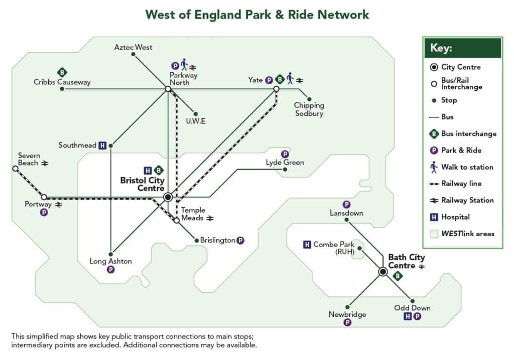
Park & Ride Guides
Bath Park and Ride Guide Download pdf PDF approximately 1.35 MBus network maps and Public Transport Guides
Four travel guides provide an overview of public transport in the West of England region.